- Details
- Written by: Travis
- Hits: 1365
High Altitude Aerial Photography
Sometimes an aerial photography project requires more altitude than our drones are legally allowed to fly. For instance, in class G airspace, the FAA stipulates that we fly no higher than 400’ above ground level. This means that sometimes we simply can’t fly high enough to show large communities in a single photo. In other words, once the subject property gets over 20 acres, it is time to evaluate the shape of the property to see if the drone can handle it or if manned aircraft is the better solution. Another time we use manned aircraft is for class D airspace in Key West and off shore islands over a 1/2 mile from land.
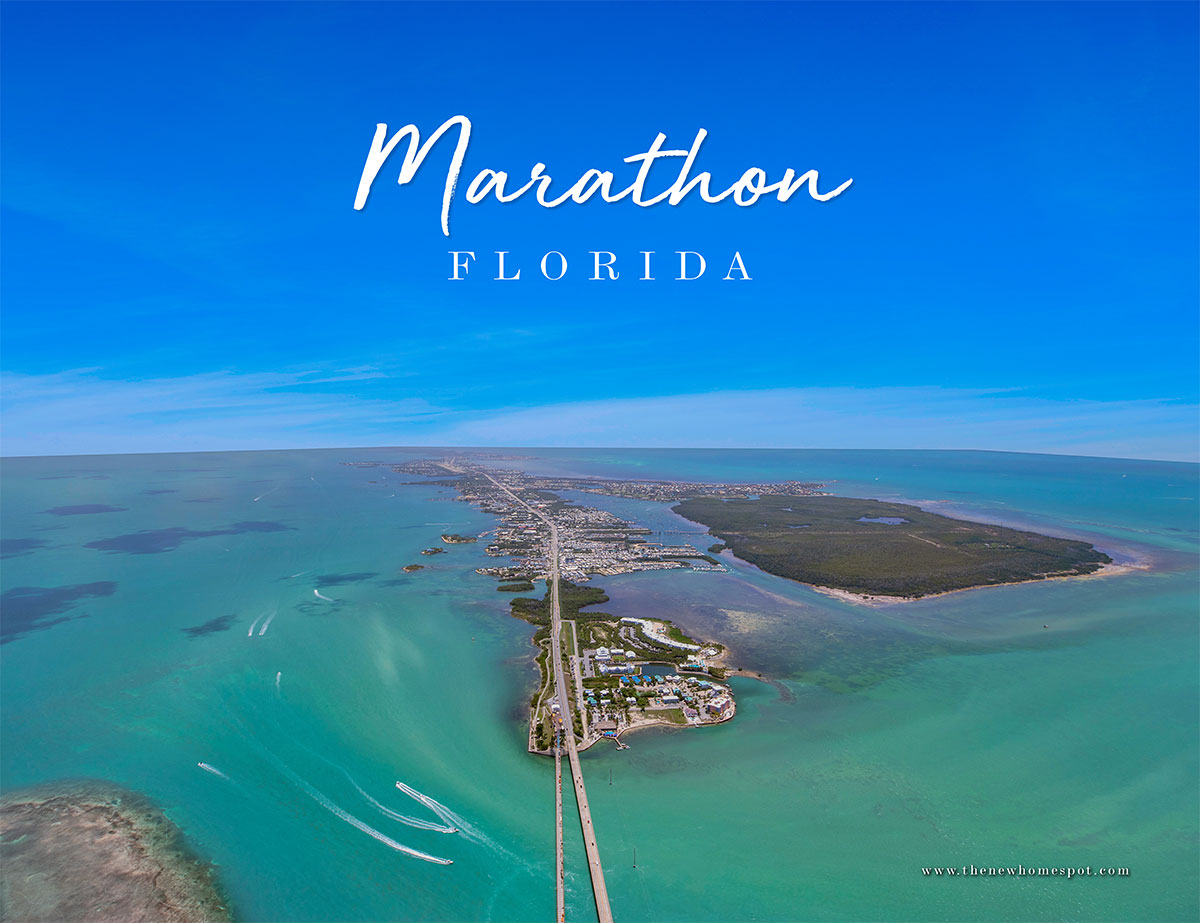
Case in point, Lisa Baez at thenewhomespot needed community photos around Marathon, one of which was the entire city! At nearly 10 square miles, a photo of Marathon in its entirety is way beyond the capability of a drone. Fortunately our good friend Justin at Ultimate Heli Tours ultimate-helitours is always making the rounds in Marathon well above 400 feet. We hear him on the aircraft band radio nearly every time we operate in the Middle Keys, giving us the heads up on where he is headed so we can stay out of his way. He is an awesome pilot flying a Robinson R44 Helicopter with up to 3 guests typically looking for wildlife and other local sites like Pigeon Key, Sombrero Beach, Seven Mile Bridge and Sombrero Lighthouse.
This time I was up there with him! Two cameras in hand with shutter speeds in the stratosphere, we needed a little over 1,000 feet to get this shot of Marathon. Despite the hazy conditions, the Canon DSLRs were able to record enough data for serviceable images that turned out pretty great after processing. In addition to the photos, it was also a lot of fun and a short escape from the hot summer heat down here in the Florida Keys. Check them out here:




- Details
- Written by: Travis
- Hits: 1284
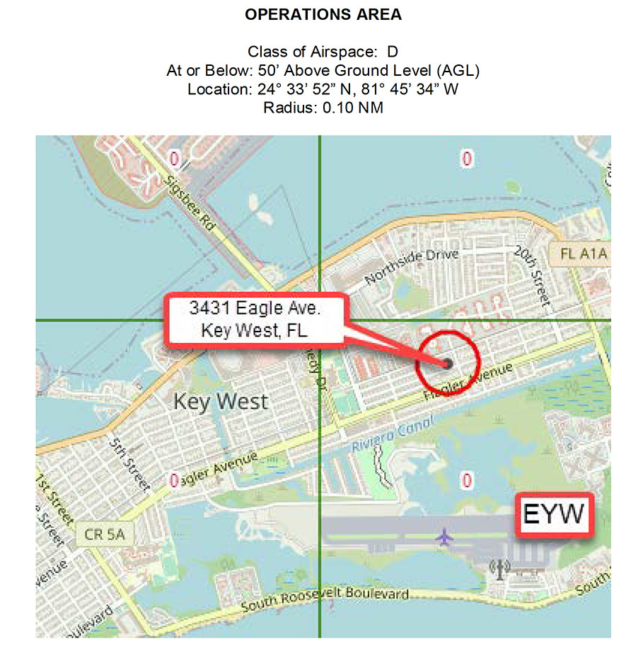
All I wanted for Christmas this year was an approval from the FAA to fly a job in Key West. After 3 denials this year, my wish finally came true a few days early with a certificate waver for my first flight in Monroe County Florida’s only Class D Airspace. Often referred to by local drone pilots as “The Forbidden Zone south of MM 17."
The Application Process:
The FAA has a detailed online form that we have fill out to request a certificate waiver to fly in Class D Airspace. After researching the area, converting the physical address to latitude and longitude, creating a flight plan, communications plan and safety plan, the form is submitted and we generally hear back from the FAA with an approval or denial within about 2 weeks.
Getting There:
We shoot real estate photos throughout the Florida Keys out of our office in Islamorada. Fortunately, I have become a master of time management and was able to get the approval for a day when I needed to stay the night in Key West anyway due to the new Real Estate Book hitting the streets. Getting there the night before is not only fun, but ensures that no traffic issues could make me miss the short approval time window for the flight.
Settling In:
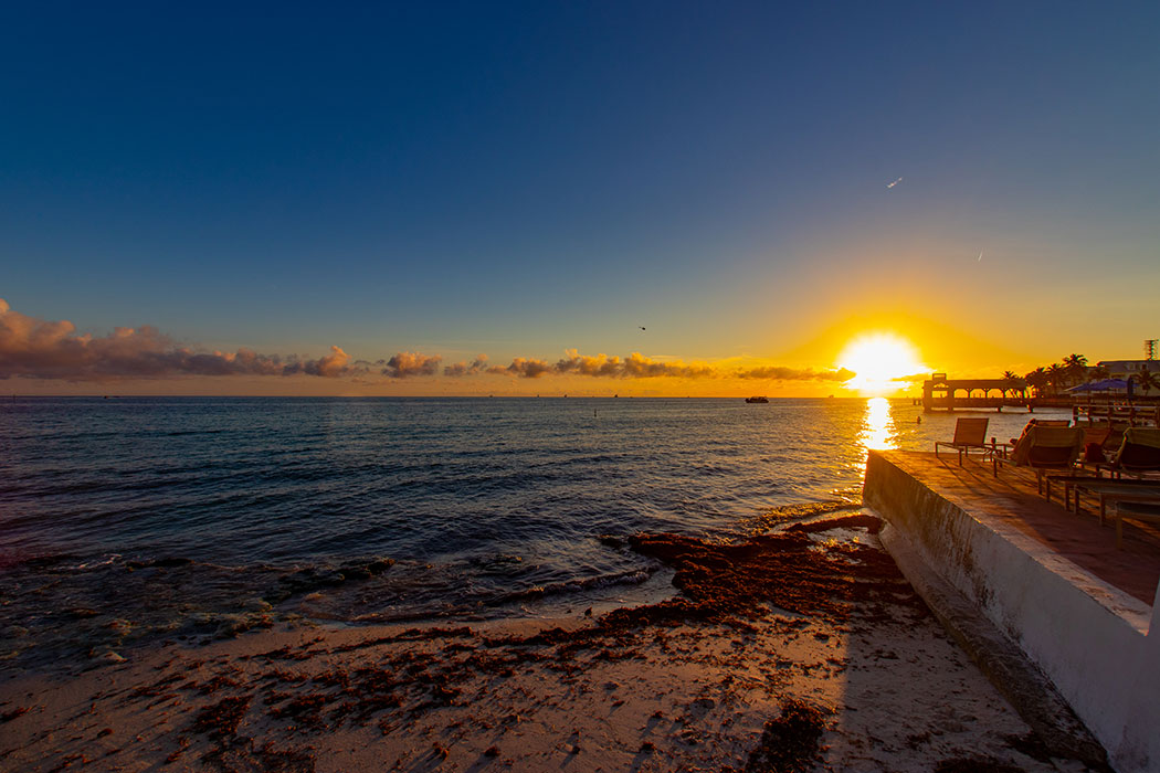
The prior day’s appointments had all been delayed due to a heavy fog in the Upper Keys that lasted until about 11:30AM, a rare occurrence down here. This put my arrival time to Key West at about 6PM the night before, just in time for a quick sunset shoot near Louie’s Backyard. Special thanks to the sailboat, helicopter and unknown model coming together to remind us that Key West is open for business. After sunset, it was off to The Angelina Guest House in the heart of Old town, once a 1920’s bordello and gambling spot, now a friendly and quaint guest house perfect for a quick overnight stay or even longer. It’s a small, independent guest house with a friendly staff that never lets me down. Just down the street is Ricky’s Blue Heaven and if you get there early, they might just have a seat or two left if you failed to make your reservation in advance. If they are full, Santiago’s Bodega and Moon Dog Cafe are about two additional blocks away and also have great food.
Flight Day:
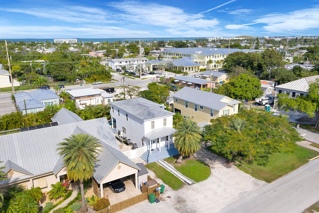
My favorite time in Key West is early in the morning, especially when delivering Real Estate Books. The place is so quiet before 8AM, plenty of parking, no traffic and few distractions. Just a tourist or two looking for someplace to buy coffee. Anyway, this is a post about Key West Photography, not my paper route. After getting a few things done in the morning, it was off to Eagle Avenue to make sure the drone’s geofencing was going to allow me to take off and it did. As the clock struck twelve I took off and shot about ten photos for the client. The urban environment is quite different from all of the waterfront homes we shoot on a regular basis, but she and her sellers were happy with the result. All in all, it was completely drama free, which was the plan from the beginning.
Happy Holidays, Happy Festivus, Merry Christmas & Happy New Year to each and every one of you!
- Details
- Written by: Travis
- Hits: 598
Up There - Marathon, Florida Keys
I’ve been living in the Keys now for nearly 20 years. Most people simply assume they are all are very flat and very low. However, being from West Virginia originally, I pay attention to topography and have discovered some higher up spots in the Keys at least in the context of South Florida, which I would describe as 11-17 feet above sea level standing on solid coral rock.
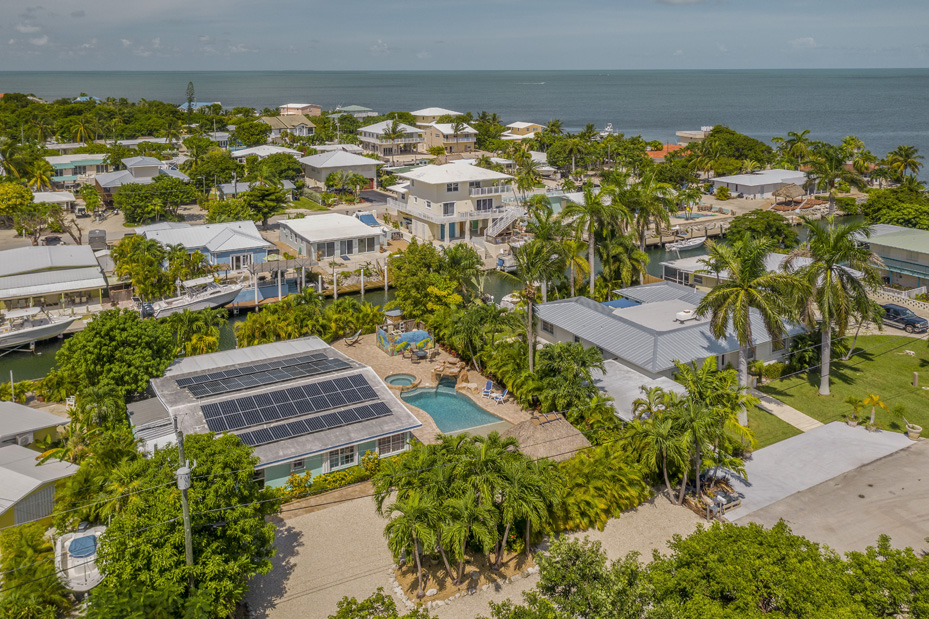
Anyway, I rolled up on a neighborhood of ground level homes in Marathon at high tide and felt a bit higher than usual, then I noticed several steps up down to the dock from the home and started to get altitude sickness! The owner and I had a good laugh. He claimed it was one of the highest spots at ground level in Marathon and would have to concur with him. The solar panels on the roof generate enough power to run the entire home, so this home keeps on trucking even when the power goes down. Love it!
Here is one of the aerial photos from this shoot. Commercial drone photo flights this close to Marathon Airport require special unlocking codes and I find that monitoring the common traffic advisory frequency on an aircraft band radio is an extremely helpful addition to visually scanning the skies.


