- Details
- Written by: Travis
- Hits: 827
Public Relations Photography Project - Construction Progress using Aerial Photography and Videography in Key West.
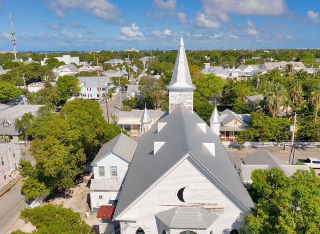
The seawall behind West Martello Tower in Key West was scheduled for Repair in 2022 and we photographed the progress to aid in public relations before, during and after the project. West Martello tower in Key West is located at 1100 Atlantic Blvd. It is historic because it was built during the American Civil war. It saw no battle action, but was used as a target. Today it is a tropical garden paradise on the Atlantic Ocean near Higgs Beach and home to the Key West Garden Club.
The seawall behind the historic fort between White Street Pier and Higgs Beach needed repairs after Hurricane Irma. Due to the saltwater and sand behind the seawall the county decided to use a two part Urea Silicate Resin first developed for the tunneling and mining industry, which was better for the environment. You can read more about that here: https://www.keywestchamber.org/latest-community-news/project-management-continues-seawall-repairs-at-higgs-beach-in-key-west#comments
Here is a video with clips from before, during and after the project. We chose to supplement the aerial photography with aerial video because of the 50’ height restriction for drone operations in Key West.
- Details
- Written by: Travis
- Hits: 1381
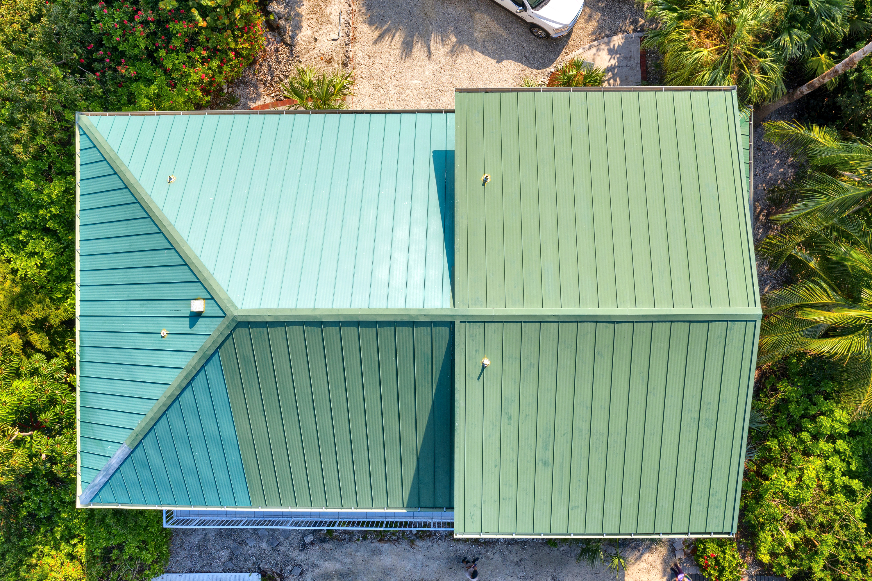
Do you need a safe way to get actionable information for a roofing repair, inspection, or replacement? Roof inspections can be a time-consuming and potentially dangerous task, especially for larger homes, commercial or industrial buildings. That's where drones come in. By using a drone for roof inspections, you can quickly and easily assess the condition of a roof without the need for ladders, scaffolding or other costly and labor-intensive methods.
One of the main benefits of using a drone for roof inspections is the ability to access hard-to-reach areas safely and efficiently. Drones can easily fly over and around structures, providing a comprehensive view of the roof that might otherwise be difficult or impossible to obtain. This can help identify issues such as missing or damaged shingles, leaks, and other problems that can cause costly damage if left unchecked.
In addition to providing a better view of the roof, drones can also capture high-resolution images and video that can be used to document the condition of the roof for insurance purposes or to provide proof of work to clients. These images and video can also be used to create detailed reports that outline any issues that are found, along with recommendations for repair or replacement.
Another advantage of using drones for roof inspections is the speed at which they can cover large areas. Instead of having a team of workers manually inspect a roof, a drone can quickly and easily scan the entire surface, providing a much more efficient and cost-effective solution.
Overall, drones are a valuable tool for roof inspections, offering a safe, efficient, and cost-effective way to assess the condition of a roof. Whether you're a home inspector, building owner, or a professional contractor, using a drone for roof inspections can help you identify and address issues before they turn into major problems.
We are licensed and insured FAA Part 107 remote pilots.
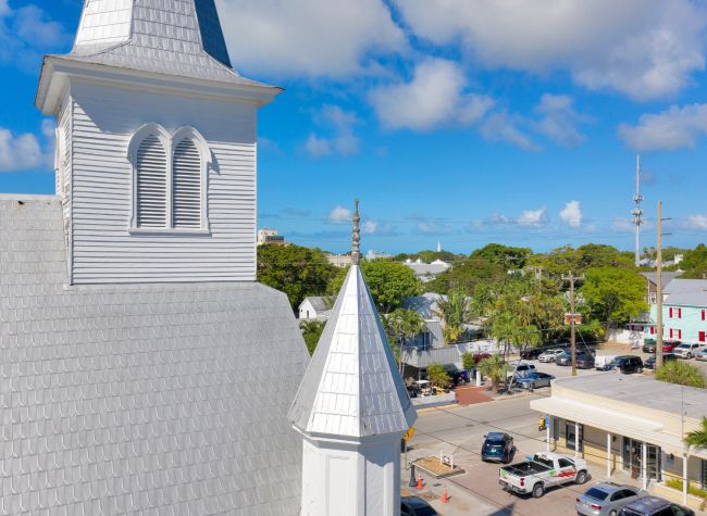
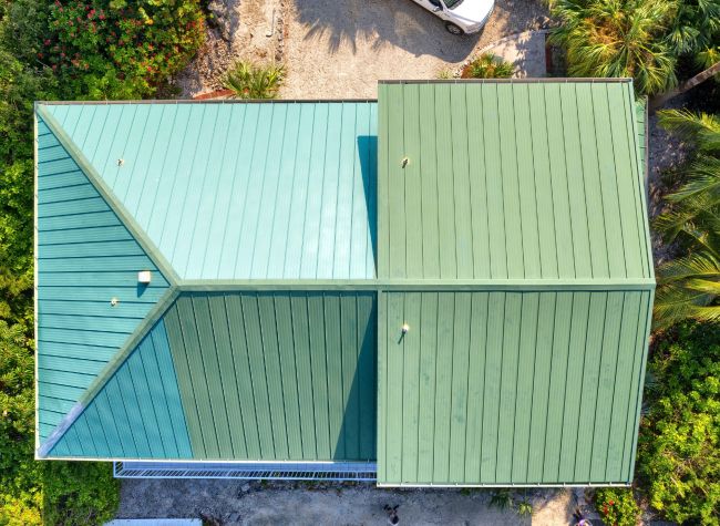
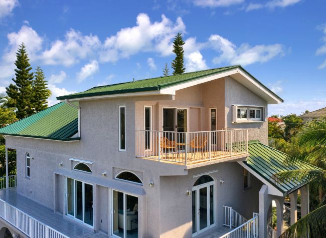
Here are some recent samples from a roof inspection job in Key West, FL and another near Big Pine Key, Florida.
- Details
- Written by: Travis
- Hits: 1363
High Altitude Aerial Photography
Sometimes an aerial photography project requires more altitude than our drones are legally allowed to fly. For instance, in class G airspace, the FAA stipulates that we fly no higher than 400’ above ground level. This means that sometimes we simply can’t fly high enough to show large communities in a single photo. In other words, once the subject property gets over 20 acres, it is time to evaluate the shape of the property to see if the drone can handle it or if manned aircraft is the better solution. Another time we use manned aircraft is for class D airspace in Key West and off shore islands over a 1/2 mile from land.
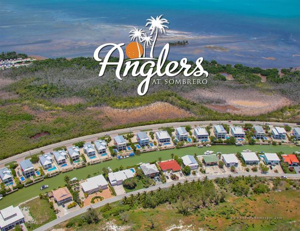
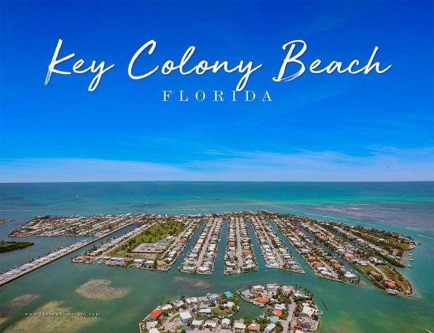
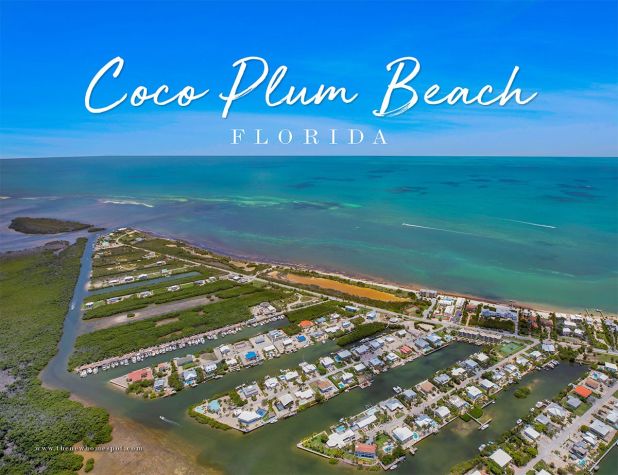
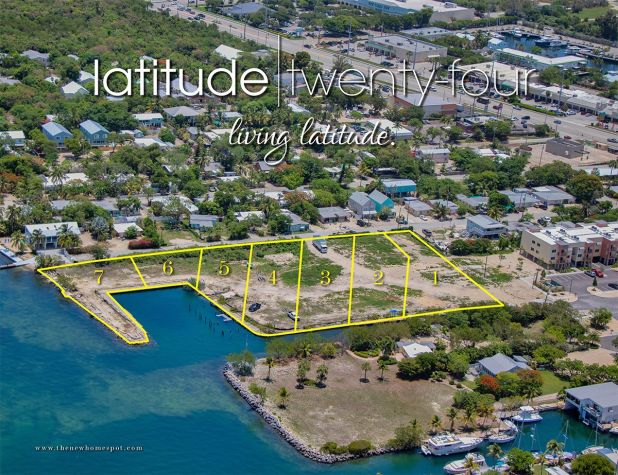
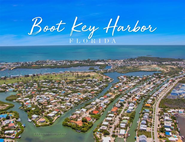
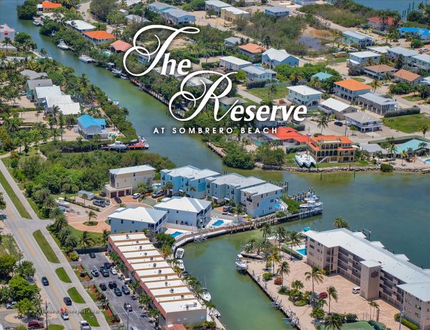
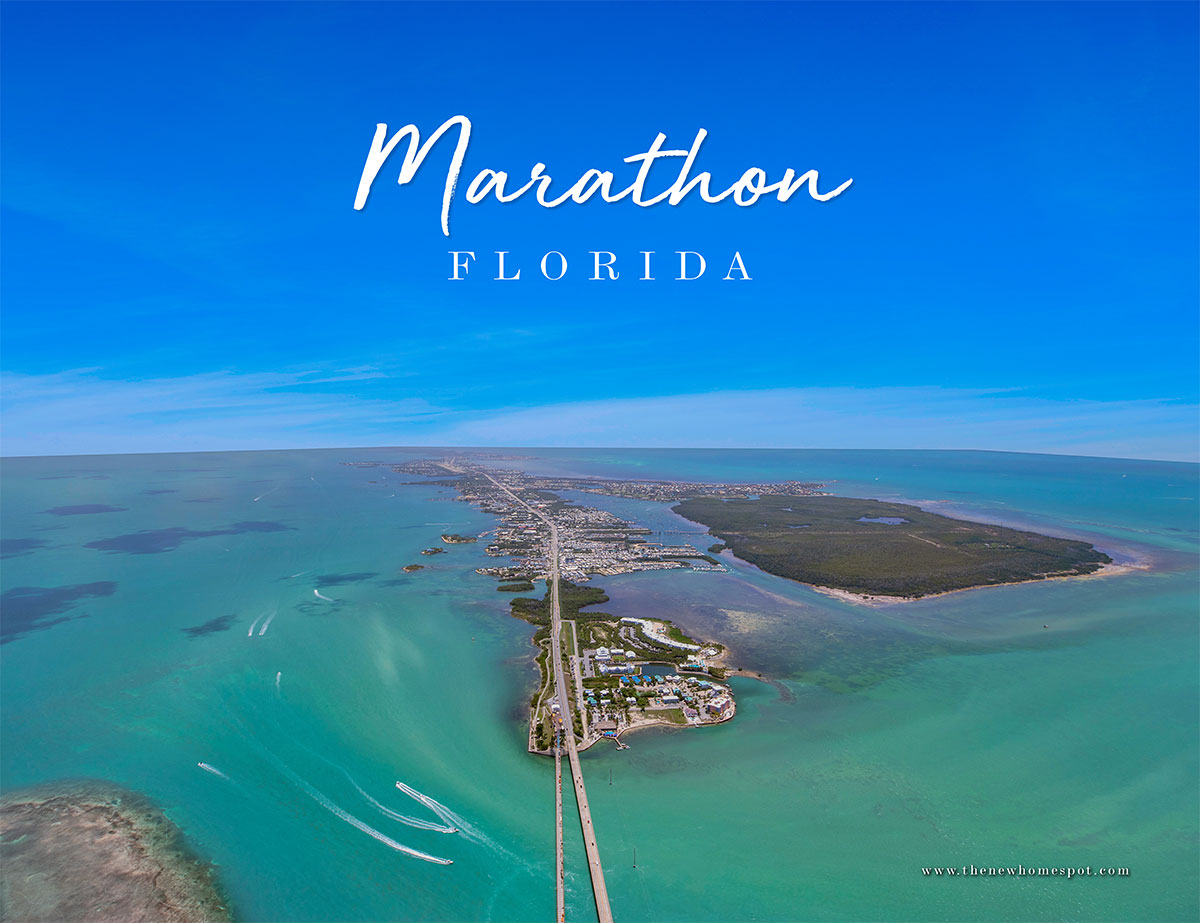
Case in point, Lisa Baez at thenewhomespot needed community photos around Marathon, one of which was the entire city! At nearly 10 square miles, a photo of Marathon in its entirety is way beyond the capability of a drone. Fortunately our good friend Justin at Ultimate Heli Tours ultimate-helitours is always making the rounds in Marathon well above 400 feet. We hear him on the aircraft band radio nearly every time we operate in the Middle Keys, giving us the heads up on where he is headed so we can stay out of his way. He is an awesome pilot flying a Robinson R44 Helicopter with up to 3 guests typically looking for wildlife and other local sites like Pigeon Key, Sombrero Beach, Seven Mile Bridge and Sombrero Lighthouse.
This time I was up there with him! Two cameras in hand with shutter speeds in the stratosphere, we needed a little over 1,000 feet to get this shot of Marathon. Despite the hazy conditions, the Canon DSLRs were able to record enough data for serviceable images that turned out pretty great after processing. In addition to the photos, it was also a lot of fun and a short escape from the hot summer heat down here in the Florida Keys. Check them out here:
